Announcement : MarsTeamWorkshop
Team Meeting in Pomona RelatedTweet Enrollment Form for the F Prime Tutorial @ The Bronco Space Lab
The Bronco Space Lab will be holding an F Prime Tutorial on Friday April 11, 2025 from 9AM - 4PM. The tutorial will take place in the Bronco Space Lab at 3670 W Temple Ave STE 278, Pomona CA 91768.
F Prime is a free, open-source and flight-proven flight software development ecosystem developed at the NASA Jet Propulsion Laboratory that is tailored for small-scale systems such as CubeSats, SmallSats, and instruments. To learn more about F Prime, visit their documentation page!
https://fprime.jpl.nasa.gov/overview/ AppointmentMade @blackgirlscode

Exploration Ground Data Systems (xGDS) v1
Software to support science operations, including tools for planning, monitoring, visualization, documentation, analysis, and search. (ARC-17174-1) :: A Brief Guide to the F´ Ground Data System
°Goes Wind calculator Interactive Global Geostationary Weather Satellite Images - GOES ALERTCalifornia is a UC San Diego Program OPEN TOPOGRAPHY Acme Mapper cssgridoverlap - kevinPowell CSS FORUM
ANAGLYPH/PS
Mars Relay Network
Lessons Learned from the Mars Relay Network: Considerations for Future Relay Networks
The Global CTX Mosaic of Mars
The Bruce Murray Laboratory for Planetary Visualization has completed a 5.7 terapixel mosaic of the surface of Mars rendered at 5.0 m/px. Each pixel in the mosaic is about the size of a typical parking space, providing unprecedented resolution of the martian surface at the global scale.
Deep Space Network Now @nasa-jpl
![]()
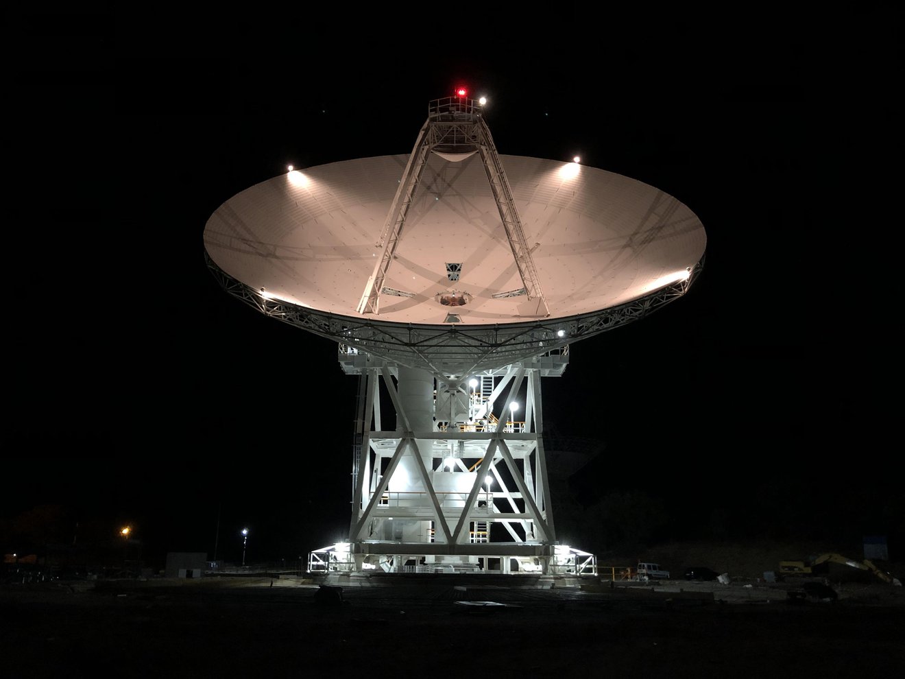
Deep Space Network, Deep Space Station 56 (DSS-56), a 112-foot-wide antenna at Madrid Deep Space Communications Complex in Madrid, Spain. Image Credit: NASA
Design Resources
NASA Graphics Standards Manual (NHB 1430.2) (January 1976) The Elements of Typographic Style Robert Bringhurst 1992 Grid Systems In Graphic Design Josef Muller Brockmann
Port Of Longbeach tweets JPL OUTAGES
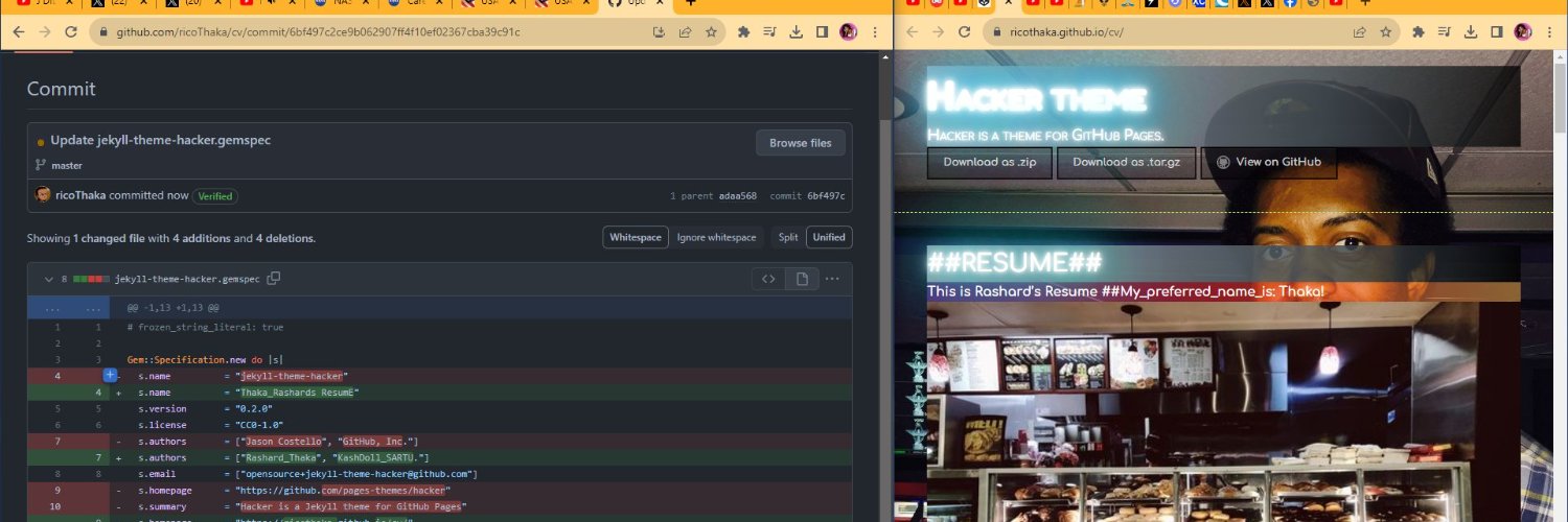
#Earth @NASA_Astronauts #WelcomeHome -#rashard @nasaJPL #Ground_n_Flight_Datasystems . . . @usdol @essence @GADFCS @BlackGirlsCode @LACo_DPSS https://t.co/j5AhATD2AE pic.twitter.com/lXUDd0rp9U
— BubbleGumPop (@BubbleGumPop510) March 18, 2025
TutorialFiles MoreMaps! FirMS KML LosAngelesFire GoogleEarth KML_ViEWER -https://kmlviewer.nsspot.net/ - BurningHills
NAsa Firms Data ORigins
Visible Infrared Imaging Radiometer Suite (VIIRS)
![]() Jet Propulsion Lab - podaac OceanArchive
Nasa/podaac_tools_and_services
EMIT-Data-Resources
Jet Propulsion Lab - podaac OceanArchive
Nasa/podaac_tools_and_services
EMIT-Data-Resources
********************************************************************************

                         U.S. GOVERNMENT COMPUTER

This US Government computer is for authorized users only.  By accessing this
system you are consenting to complete monitoring with no expectation of privacy.
Unauthorized access or use may subject you to disciplinary action and criminal
prosecution.

Attention user: You are downloading data from NASA's Land Processes Distributed
Active Archive Center (LP DAAC) located at the USGS Earth Resources Observation and
Science (EROS) Center.

This data is open to the public and browse images are freely available without
restriction.  Satellite data products may require a NASA Earthdata Login username
and password.  To obtain a NASA Earthdata Login account, please visit
https://urs.earthdata.nasa.gov/users/new/.

For more information about the data you are downloading, including documentation
and how to properly cite the data, please visit https://lpdaac.usgs.gov/.

********************************************************************************